Hi there! 👋
I am an active Software / Firmware / Full-Stack / DevSecOps / SDET Engineer and Open-Source Maintainer / Contributor, who love learning new things, solving problems, sharing technical skills and constantly improving myself.
At my current role, I’ve developed a systematic BIOS serial save feature (D4D), reducing engineers’ debugging time and enhancing customer satisfaction and retention. I’m a staunch advocate for CI/CD automated BIOS code signing, release file creation and cutting-edge auto-testing systems, ensuring our releases are bug-free and lightning-fast.
As a Technical Leader, I’ve led diverse teams in delivering major webGIS and software projects such as test automation framework, intergration systems, satellite RADAR data analysis, and urban planning systems.
Outside of my day-to-day work, I hold an AWS Certified Solutions Architect certification, with a focus on cloud computing exploration. I actively contribute to open-source projects and engage with the developer community through tech meetups and conferences. I am committed to continuous learning of new technologies and methodologies to remain at the forefront of software firmware engineering trends.
I also expertise in Geomatics, providing free consulting services and fostering discussions on spatial data. Currently collaborating long-term with a GIS development team.
September 2025 - Present
April 2023 - August 2025
November 2021 - March 2023
September 2020 - August 2021
August 2018 - September 2020
Designed and implemented advanced BIOS features, while spearheading the adoption of CI/CD firmware automation workflows, effectively reducing debugging time and optimizing resource allocation.

Designed and developed a stable, modular program for daily operations, facilitating the construction of cadastral maps and management of various land situations to ensure consistent operational efficiency and regulatory compliance.

Implemented an asynchronous testing program for third-party APIs, ensuring rapid validation of multiple APIs. Utilized async methods for efficiency and automated email notifications for prompt issue resolution.
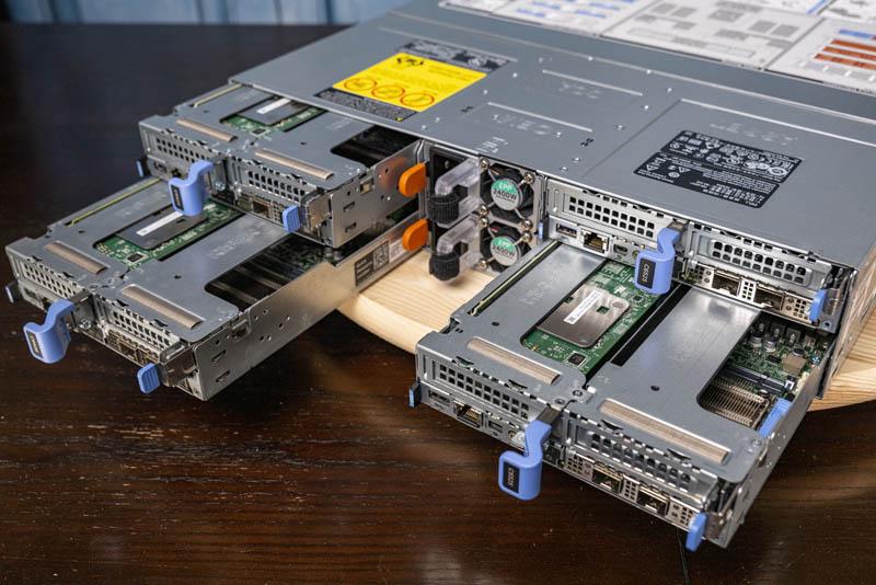
Developed and performed source code level debugging for Modular Infrastructure and Rack products. Including R6615, C6615 and next generation products.
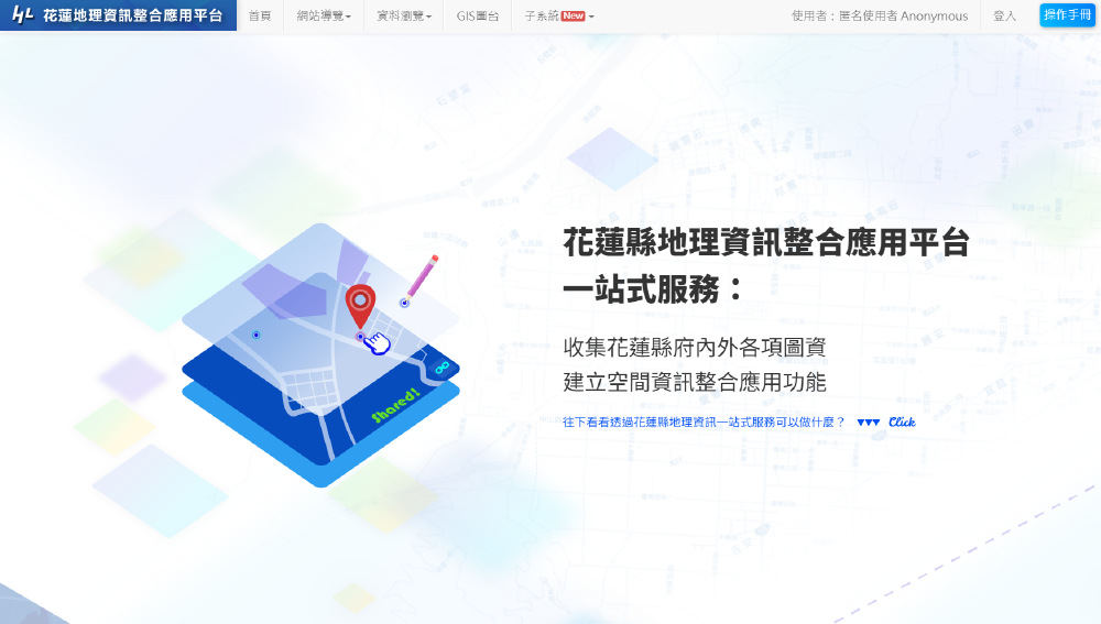

Served as the Technical Leader for the department’s largest project, leading a team in collecting and analyzing diverse map data and establishing spatial information integration application features.
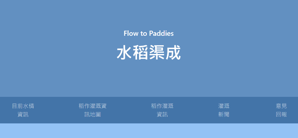
Won first place in the WRA 2022 Water Resource IoT Competition with a project that utilized open-source water-related data to analyze and predict water requirements for each paddy season.
![[Tech Posts] Getting Started with WebGIS - Implementing with Openlayers](/images/sections/projects/thumbnail/ithelp_hu_6a780ce8b2621035.jpg)
Participated in a self-improvement competition by sharing technical articles for 30 consecutive days, guiding novices on how to write a WebGIS.
![[Tech Posts] Why Do We Need Software Testing?](/images/sections/projects/thumbnail/hero_hu_36d5674ee5652692.png)
Participated in a self-improvement competition by sharing technical articles for 30 consecutive days, guiding novices on what is software testing.
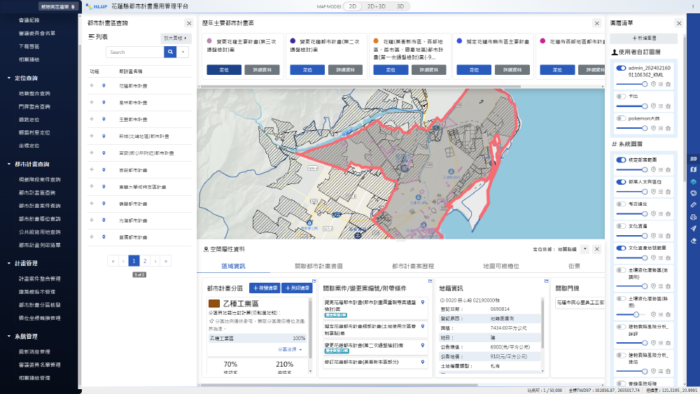

Spearheaded the development and leadership of the Urban Planning Application Management System, revolutionizing customer operations by transitioning from paper-based to digital workflows, and dramatically enhancing map finding and geolocation capabilities.
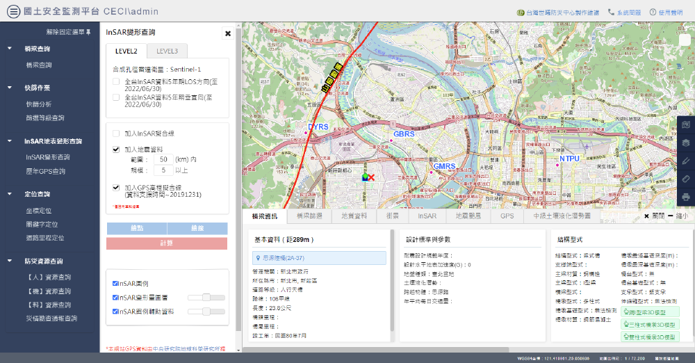

Invented and patented (M597309) a groundbreaking 3-tier search architecture for monitoring long-term land surface displacement. This innovation was successfully applied in bridge monitoring, prompting Taipei government reconstruction efforts to prevent future disasters.


Enhanced and debugged the frontend and backend of ‘Toha’, a Hugo theme for personal portfolios, improving overall functionality and user experience.
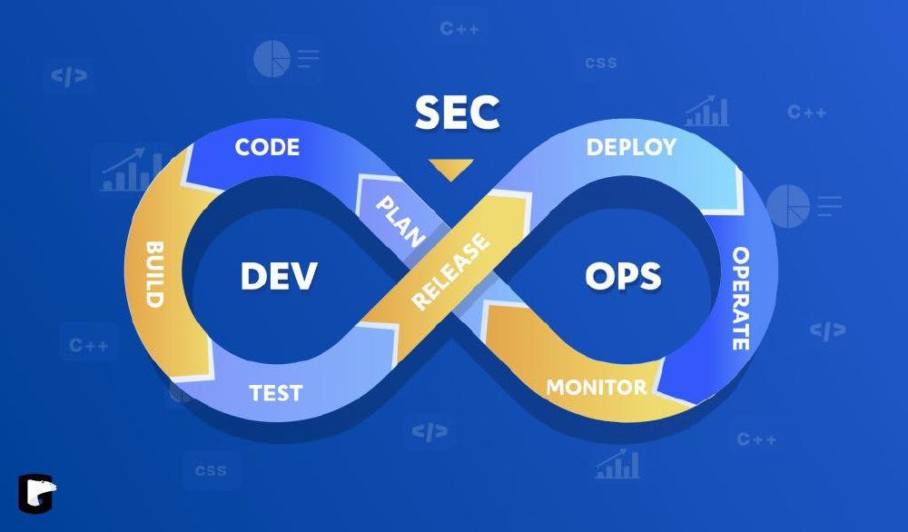
An unpaid consultant job providing geospatial data analysis, GIS, SAR, LiDAR, drone(UAV), surveying, CI/CD, web development and basic infrastructure consulting.

The best way to write secure and reliable applications. Write nothing; deploy nowhere.
 2016-2018 Master in Geospatial Information Science, Civil EngineeringPublications:Extracurricular Activities:
| ||
 Feb 2016-Jul 2016 Exchange Student in Geodesy and GeomaticsExtracurricular Activities:
| ||
 2012-2016 B.Sc. in Geomatics, Land EconomicsExtracurricular Activities:
|